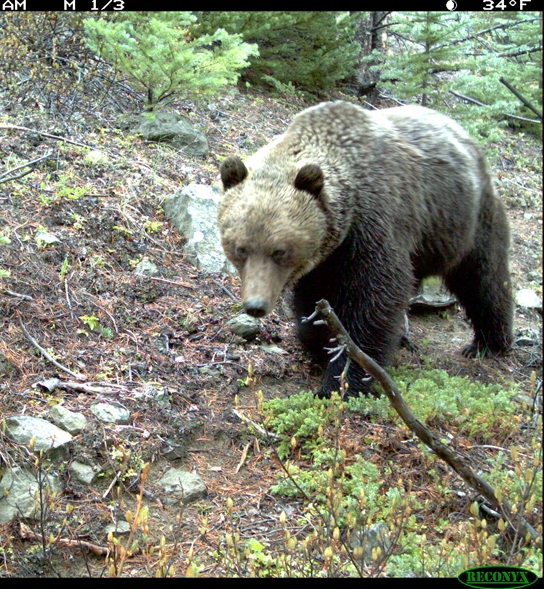
South Chilcotin Ranges (222 bears)
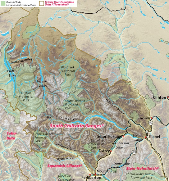
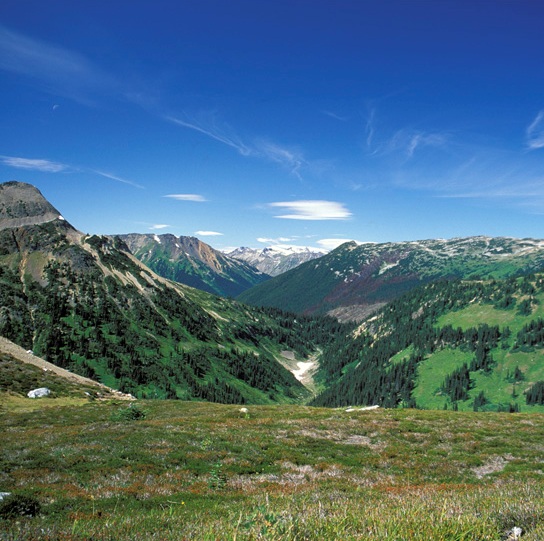
The South Chilcotin Ranges grizzly bears’ sweeping range includes, at its northern end, Chilko and Taseko Lakes and Nemaiah Valley. In its center lies Big Creek, South Chilcotin and Yalakom Provincial Parks and the Bridge River. On its southern edge are the critical upper Lillooet watershed and the communities of Mount Currie, D’Arcy, Lillooet and Pavilion.
The eastern margin of the South Chilcotin bears’ range abuts the wide swath in BC’s south central interior from the Okanagan through Kamloops up to Prince George where grizzlies have been eliminated.
South Chilcotin’s grizzly bears are mostly found in the more remote and less developed west. South Chilcotin grizzlies represent 70% of all grizzly bears in the Coast to Cascades region. As such they are an important source population for Squamish-Lillooet and Stein-Nahatlatch bears, some of whom travel north seasonally to mate or feed on salmon in Chilcotin River tributaries.
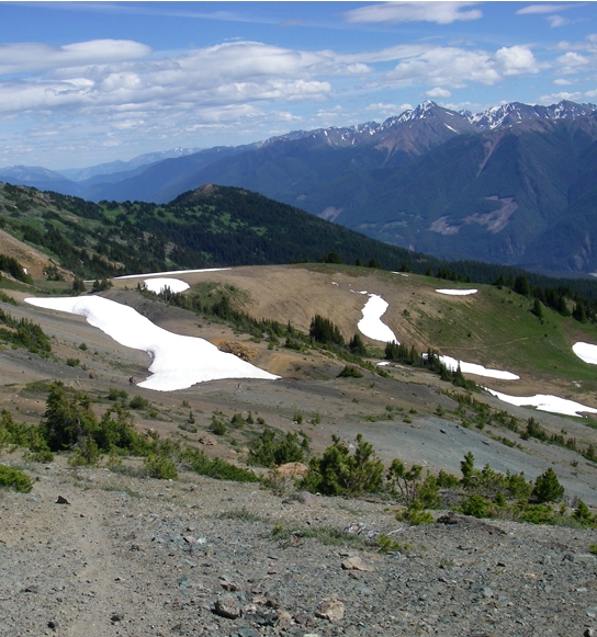
The rich band of alpine habitats that arc across the headwaters of the Birkenhead, Sockeye, McGillivray, and Connell drainages provides connective tissue to the critical Ryan River valley to the west and Duffy Lake to the southeast. Berry productivity in the South Chilcotin is among the best in BC – an important late summer food source for grizzly bears fattening up for winter.
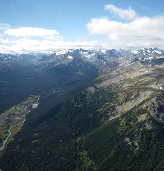
Ensuring that South Chilcotin bears thrive and that safe grizzly travel corridors are maintained between it and other populations is critical for regional grizzly recovery. Valleys like Salal and North Creek provide crucial linkages between the upper Bridge and Lillooet River valleys. East-west connectivity across valleys like Big Creek will ensure the bears on the extreme east side of the unit will also remain linked to core habitats to the west.
Despite its more robust numbers, the South Chilcotin grizzly bears are also considered ‘Threatened’ by the BC government. Their slow, natural recovery is jeopardized by:
The cumulative effects of new connecting roads and other proposed major industrial developments including a through road proposed by the Elizabeth Mine from the Yalakom valley to Poison Mountain (Sona Road);
Rapidly growing non-motorized and motorized commercial and non-commercial recreation in the Gun and Tyaughton Creek areas;
Getting shot because real or perceived conflict with livestock.
The combined effects of human development in grizzly bear habitat pose the greatest threat to grizzlies in the Coast to Cascades region. These include an excessive open backcountry roads network and other infrastructure associated with energy development, mining, forestry and recreation, some of which combine with livestock grazing or farming.
These effects harm bears in three main and often overlapping ways:
Conflicts between humans and bears increase in frequency, often resulting in grizzly bear deaths. As well, grizzly bear poaching is made easier by more and improved backcountry roads.
Bear populations become isolated from each other because roads, utility corridors and other infrastructure accumulate in major valley bottoms making it difficult for bears to move through such areas unharmed.
Habitat is lost or degraded by development and human activities which prevent bears, particularly females with cubs, from using those critical habitats. Such impacts are particularly troublesome for females whose home ranges are affected by development.
In the bigger picture, all of the threatened Coast to Cascades grizzly populations and their healthier neighbors to the north and west must be stitched together so that they intermingle and can move with the seasons to find the foods they need to survive and raise their young. Their ability to move securely will be increasingly important as climate change affects grizzly habitat and food sources.
External Links
Sea to Sky Land Resource Management Plan
Population Numbers by BC Government
